The department structure consists of three subdivisions:
- Geodesy;
- Geology;
- Condition Surveys.
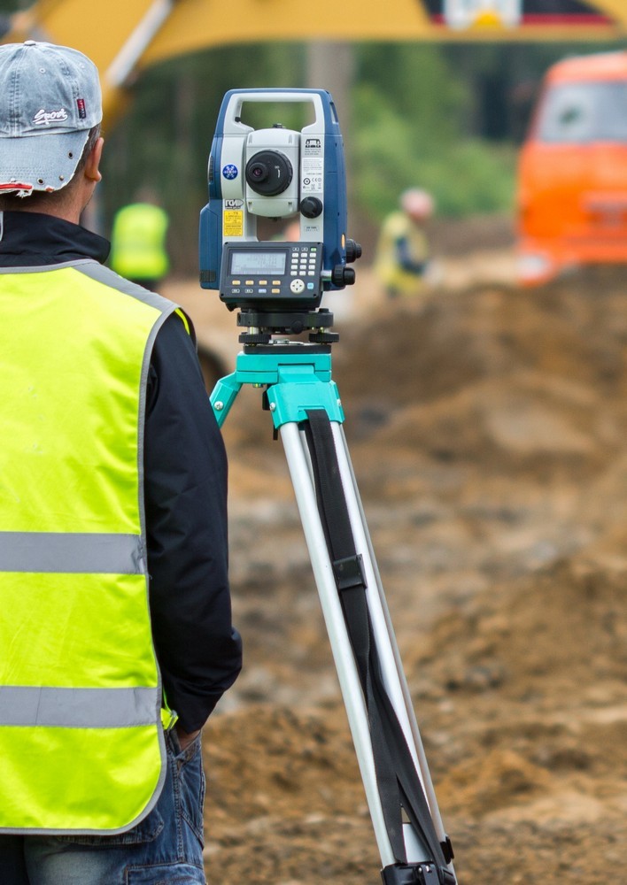
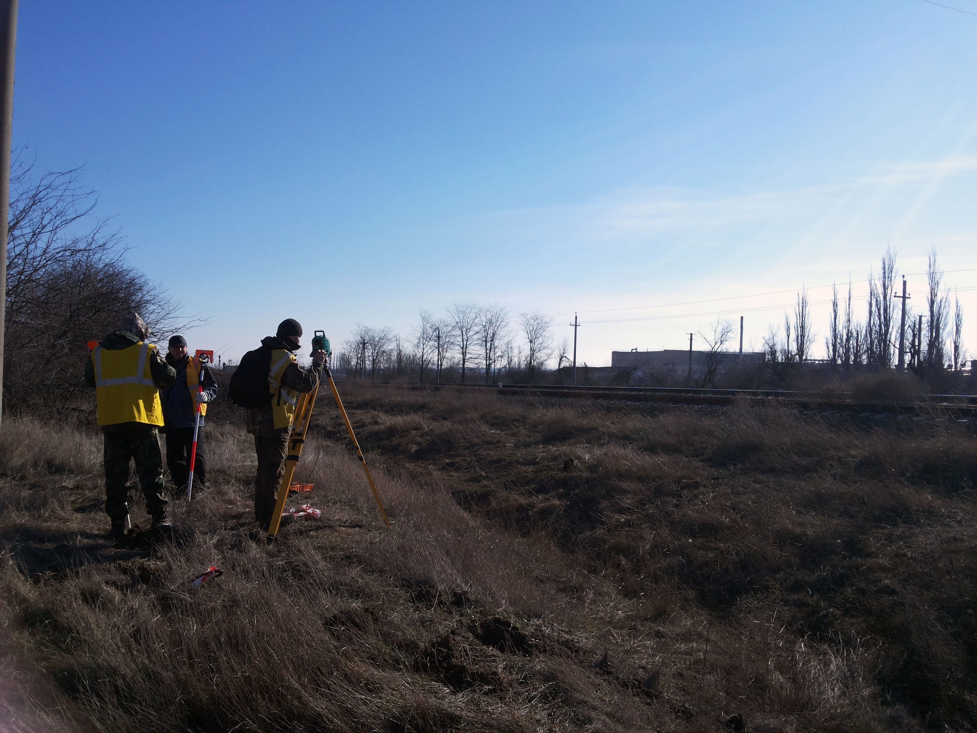
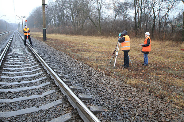
Geodetic engineering survey includes:
- Establishment of survey geodetic networks of different accuracy classes;
- Engineering and geodetic survey of railroads, power lines, communication lines and main pipelines;
- Desktop and field route survey of linear facilities;
- Special works in renovation and construction of railway tracks, buildings and structures;
- Location and as-built surveys.
Geodetic surveying and office post-processing of data are an integral part of work; they affect not only the quality of design, but also the speed of project development.
Geological engineering surveying enables making decisions for the design of facilities with regard to the presence of the following factors:
- Subsiding soils;
- Waterlogged sections;
- Landfalls of various sizes;
- Karstic and other phenomena.
Completeness of the information collected, processed, and obtained during geotechnical works makes it possible to ensure strength and stability of the designed structures, as well as their safe operation.
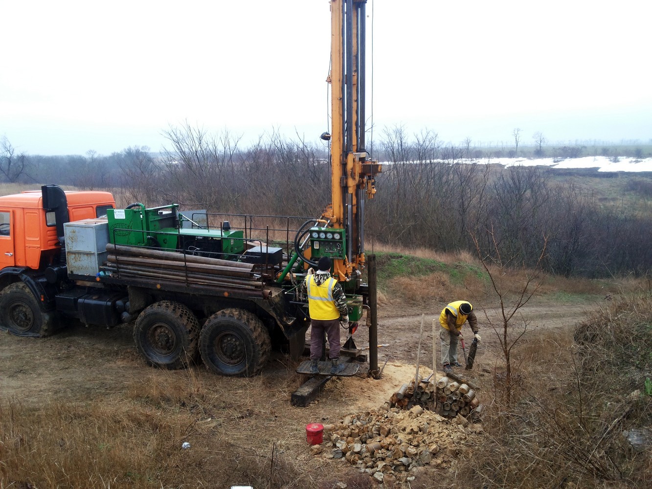
Geotechnical works include opening driving and approbation, as well as static penetration testing.
Office study is carried out for processing of data and materials, investigation of the physical-mechanical, strain and strength properties of the soils, as well as for issuing opinions on geotechnical conditions for further design process.
Condition Survey Team conducts a comprehensive or partial survey, as well as monitoring of technical condition of buildings or structures; determines the actual technical condition of the buildings (structures) and their members; obtains quantitative estimations of the actual structure quality indicators (strength, heat-transfer resistance, etc.), taking into account the time behaviour.
For the office processing of data, our specialists use AutoCAD Civil 3D software that allows to significantly reduce data processing period, at the same time greatly improving the quality of documentation.
Specialists of the department prepare a primary basis for the development of design documentation for the design and construction of new facilities, renovation and technical re-equipment of the existing linear facilities, enterprises, buildings and structures for all types of construction.
The department's technique comprises up-to-date equipment:
- Nikon Nivo total stations;
- Trimble R7, R8, (L1, L2) GNSS-receivers;
- Geodetic levels and theodolites;
- Leica laser distance measurers;
- “Opyonok” drilling rig;
- PBU2.314 drilling rig.